
The 1891 Atlas of Queens County published by Chester Wolverton includes an amazing map of the Village of Roslyn. The map is courtesy of Howard Kroplick.
This 1891 Wolverton map, similar to the Belcher Hyde maps, provided the names of the property owners and boundaries. In addition, the map color-coded whether the building was made out of stone, brick or wood frame.
The Roslyn map is presented in close-ups from north to south.
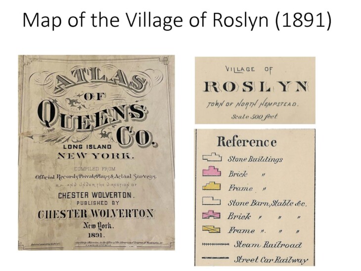
Until January 1, 1899, the Towns of North Hempstead, Hempstead and Oyster Bay were part of Queens County.

Northeast section of Roslyn including Bryant Avenue and North Hempstead Turnpike (Northern Boulevard)
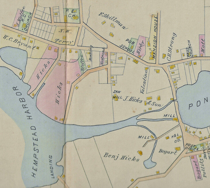
Hempstead Harbor Creek and the property north of the Roslyn Grist Mill

Main Street and East Broadway

South of East Broadway
0 Comments