The Library of Congress provides a series of Sanborn Fire Insurance Maps for Roslyn from1886 to 1920.
The most comprehensive series for Roslyn are these 9 images for July 1920 . The images are interactive and can be enlarged(use the + button) as needed.
Some highlights:
Image 1: An index of the 9 images, map of the Mott Avenue/Layton Street section
Image 2: Silver Lake (up against the road) and Willow Street (Old Northern Boulevard), Tea House & Museum, Tower Theater Moving Pictures, Nassau Light & Power Company
Image 3: Section west of Hempstead Harbor, Lumber Yard, Mackay Country Estate Pumping Station
Image 4: Section east of Hempstead Harbor, Conklin, Tubby & Conklin Planing Mill and Lumber Yard
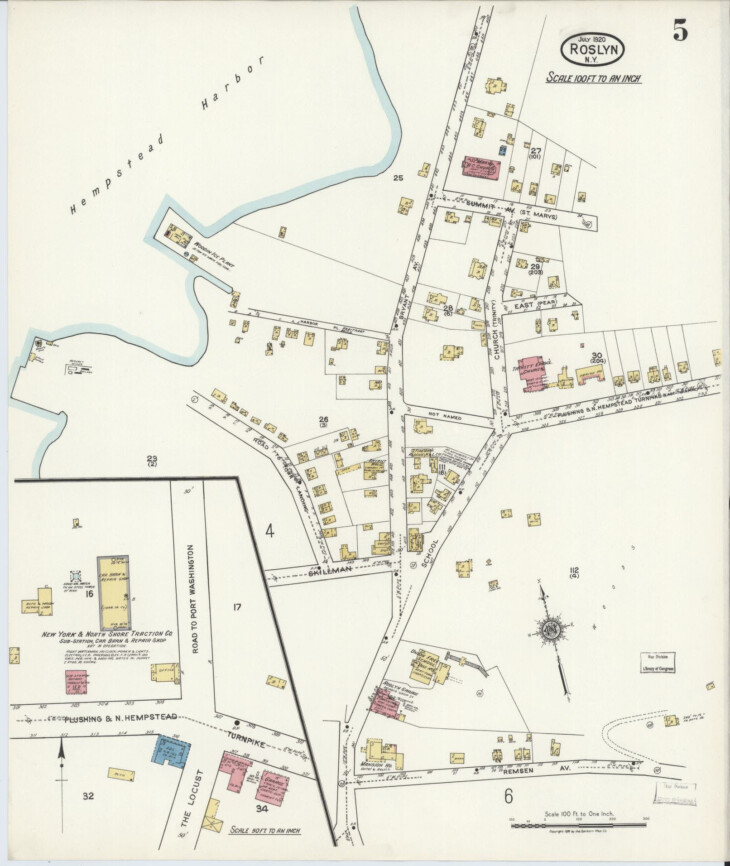
Image 5: School Street, Bryant Hall, Fire Rescue H & L Company, Flushing & N. Hempstead Turnpike, Trinity Episcopal Church, St. Mary's Church, Roslyn Harbor
Image 6: J. Post Brickyard on Glen Head Road, East Broadway, Paper Mill Road, Main Street
Image 7: Roslyn Heights (west)
Image 8: Roslyn Heights, Roslyn Train Station ( LIRR Passenger Depot), Cottage Hotel, Highland H & L Company, Mackay Country Estate Gate House
Image 9: North Roslyn (Bulls Head), Lewis & Valentine Nurseries,
0 Comments