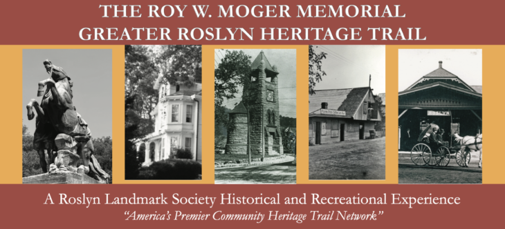
The Roslyn Landmark Society is proud to officially announce the launch of the Roy W. Moger Memorial Greater Roslyn Heritage Trail (also known as the "Greater Roslyn Heritage Trail," or “GRHT”) - its new, official heritage trail and self-guided walking tour network, covering every corner of the Greater Roslyn area and creating a new, regional recreation amenity.
Designed and planned by Roslyn Landmark Society Co-Vice President Mitchell Schwartz to be easily expanded in the future, the Greater Roslyn Heritage Trail network was established on July 24, 2026, as part of the Roslyn Landmark Society’s official observance of the United States Semiquincentennial. Having launched with an initial total of 319 stops and 24 individual tour routes, which have a combined mileage of 151.53 miles, GRHT is among the largest – and believed to be the largest – unified, local historical society-run, community-wide heritage trail networks in both New York and the United States. (The list of routes and the links to their interactive maps are included below.)
As America’s Premier Community Heritage Trail Network, GRHT links the entirety of the Greater Roslyn area – and its historical and cultural assets – together, through a unique and regional educational and recreational amenity, while aiming to further enhance the Roslyn Landmark Society’s preservation activities and illustrate how the Roslyn community’s shared heritage is not limited by political or municipal boundaries. The Greater Roslyn Heritage Trail further aims to further strengthen Roslyn’s community-wide sense of place and civic pride, while enhancing the usability of its public infrastructure, encouraging tourism and a love for learning about history, and helping contribute to the community’s local economy.
The Roy W. Moger Memorial Greater Roslyn Heritage Trail network is named in honor of the late Roy W. Moger – a lifelong Roslyn resident, longtime Roslyn schoolteacher, respected local historian, and a former Village Trustee and Village Historian of the Village of Roslyn. Throughout his adult life, Moger was a prolific advocate and key leader in the Roslyn community’s preservation efforts – work that would forever protect Roslyn’s historical and cultural resources for the benefit of future generations and the public at large.
GRHT is influenced in part by the Roslyn Landmark Society’s Annual House Tours and publications by Roy Moger. It is further influenced by the Flower Hill Historic Trail – the Village of Flower Hill’s unified municipal, village-wide, village-specific, unified heritage trail network and the largest such network in New York operated by a single municipality. The regional Greater Roslyn Heritage Trail system and the local Flower Hill Historic Trail system flow into one another and connect in multiple locations, in turn providing the entirety of the Greater Roslyn region with a robust, interconnected, and multi-layered network of heritage, educational, preservation, and recreational infrastructure that revolutionizes how the community can both connect with and preserve its history in perpetuity.
A dedicated section of www.roslynlandmarks.org – the Roslyn Landmark Society’s official website – will be added for the Greater Roslyn Heritage Trail in the near future. In the meantime, all route maps and information can be directly accessed through the links below.
ROUTES
The Greater Roslyn Heritage Trail consists of 24 self-guided walking tour routes, which vary in theme, size, and purpose. Each route and its interactive map can be accessed by clicking its respective link below.
REGIONAL ROUTES:
Regional Loop (46.2 miles; 319 stops)
LOCAL ROUTES:
Downtown Loop (5.59 miles; 151 stops)
East Hills Route (12.1 miles; 27 stops)
Flower Hill Route (5.73 miles; 23 stops)
Greenvale Route (1.93 miles; 10 stops)
North Hills Route (2.44 miles; 4 stops)
Roslyn Village Route (9.46 miles; 174 stops)
Roslyn Estates Route (3.76 miles; 20 stops)
Roslyn Harbor Route (5.58 miles; 31 stops)
Roslyn Heights Route (4.65 miles; 30 stops)
THEMED ROUTES:
Cemeteries Route (7.30 miles; 5 stops)
Frick Estate Route (0.57 miles; 5 stops)
Houses of Worship Route (9.78 miles; 15 stops)
Mackay Estate Route (4.18 miles; 10 stops)
RLS Covenant Properties Route (5.93 miles; 37 stops)
Schools Route (8.65 miles; 13 stops)
STREET-SPECIFIC ROUTES:
Bryant Avenue Route (2.03 miles; 21 stops)
East Broadway Route (0.47 miles; 30 stops)
Glen Cove Road Route (2.95 miles; 8 stops)
Main Street–Roslyn Road Route (2.07 miles; 57 stops)
Mineola–Willis Avenues Route (1.33 miles; 10 stops)
Old Northern Boulevard Route (1.8 miles; 49 stops)
Northern Boulevard Route (3.66 miles; 26 stops)
Port Washington Boulevard–Searingtown Road Route (3.37 miles; 10 stops)
0 Comments